- 5 December 2021
Best Hikes in Sri Lanka
It seems like the ideal time to be venturing beyond your comfort zones and exploring the great outdoors even if it’s on a little island like ours. From forest reserves to rocky mountain scapes, ancient kingdoms to tea valleys, there’s something for even the most amateur hiker. Don on your gear and trail across some of our best hiking picks.

It seems like the ideal time to be venturing beyond your comfort zones and exploring the great outdoors even if it’s on a little island like ours. From forest reserves to rocky mountain scapes, ancient kingdoms to tea valleys, there’s something for even the most amateur hiker. Don on your gear and trail across some of our best hiking picks.
Knuckles Mountain Range– Lying between the districts of Matale and Kandy in the central part of our island, the Knuckles Mountain Range follows the shape of recumbent folds and peaks, thus resembling the knuckles of a clenched fist. Whilst the name was coined by early British surveyors, the Sinhalese traditionally refer to it as Dumbara Kanduvetiya – the mist-laden mountain range. You might want to consider opting for a two-day camping trek exploring the foothills before actually climbing onto the massif.
Distance from Ceylon Tea Trails – 113kms
Pidurutalagala– Also known as Mount Pedro in English, this mountainous peak is ultra prominent and the highest in our little island at 2,524m. The surrounding landscape includes a forest reserve that has been designated as a high security zone by the Government of Sri Lanka and the Armed Forces of the country. Due to this fact, passes of admission to hike to the top are necessary and issued a few times a year. Home to rare and endemic flora and fauna, do make the most of it if you consider taking on the hike.
Distance from Ceylon Tea Trails – 58kms

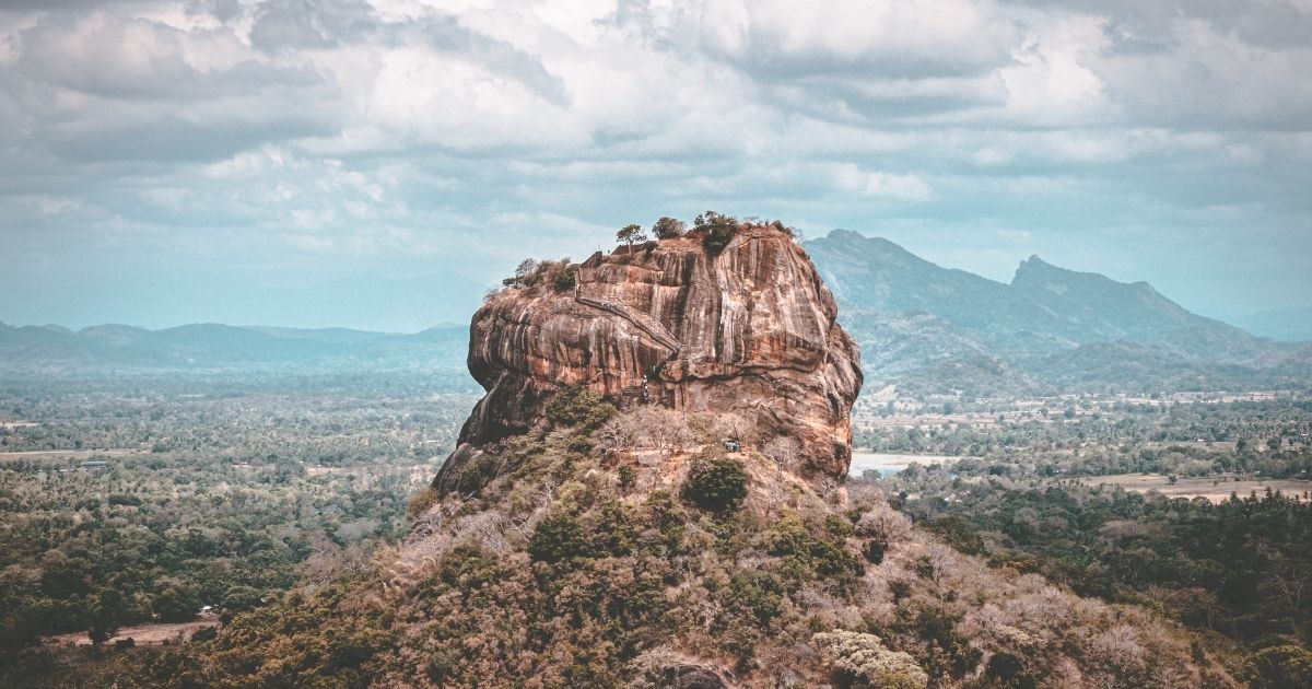
Sigiriya – Now, this may not be a hike per say but it is certainly at the top of travelers’ bucket lists. This ancient rock fortress was declared the new capital by King Kashyapa (477-495AD) and is today a UNESCO World Heritage Site. The then king built his palace atop the rock, had its corners and caves decorated with frescoes – some still visible today. Located in the central province of the country, take time to walk along the oldest landscaped gardens in the world that lead to the rock and when you get to the peak, take in some of the best views of the surrounding landscape.
Resplendent Ceylon’s next resort in Dambulla is only 17kms away.
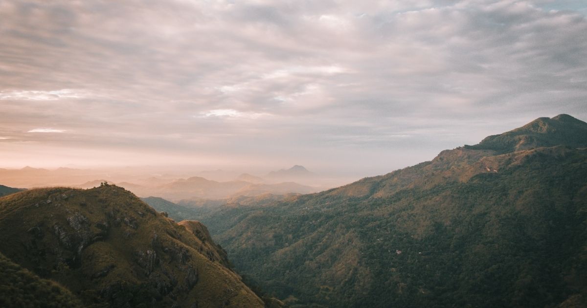
Ella Rock and Little Adam’s Peak – You haven’t hiked on our island until you’ve hiked the hills of Ella. You could spend a couple of days walking along trails, across valleys, between the ridges, discovering waterfalls, exploring the tea estates and pausing at panoramic viewpoints. Some of the trails might be a bit more challenging than others, but they can also be just as rewarding.
Distance from Ceylon Tea Trails – 107kms
Sinharaja Forest Reserve– The Sinharaja Forest Reserve is our island’s only tropical rainforest. Research suggests more than 60% of the existing trees are endemic, and also considered rare. The lush reserve is also home to endemic wildlife, especially birds, mammals and butterflies, as well as various species of insects, reptiles and amphibians. Do ensure you’ve got plenty of mosquito and insect repellent, as well as leech socks on you before hiking across the reserve.
Distance from Ceylon Tea Trails – 174kms
Distance from Cape Weligama – 83.5kms

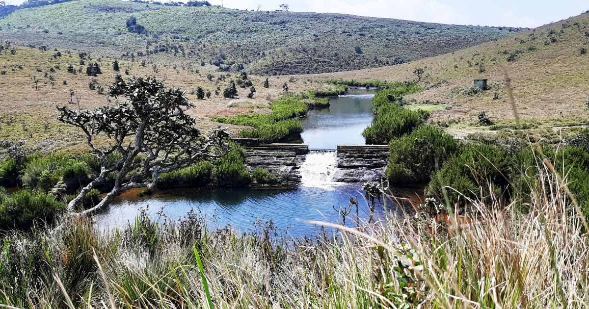
World’s End at Horton Plains – In search of our island’s most jaw-dropping vistas? You’ll find it at World’s End. The landscape is all wild grasslands, rocky outcrops, misty lakes and waterfalls, and patches of thick forestry home to birdlife. The weather can tend to be unpredictable but even if it’s misty, there’s something quite captivating about the plains. We’d recommend visiting in the early hours of the morning so you can pace out your hike as it will most likely take close to three hours round trip.
Distance from Ceylon Tea Trails – 75kms
Adam’s Peak – Sri Pada as it is commonly known as in Sinhalese, is revered as a holy site by Buddhist, Hindus, Muslims and Christians on our island. Approximately over 20,000 pilgrims climb the peak annually. Located in the Central Highlands, the goal is to reach the peak at sunrise and so pilgrims begin their journey a couple of hours in advance. It is also popular due to the panoramic views from atop.
Distance from Ceylon Tea Trails – 35kms

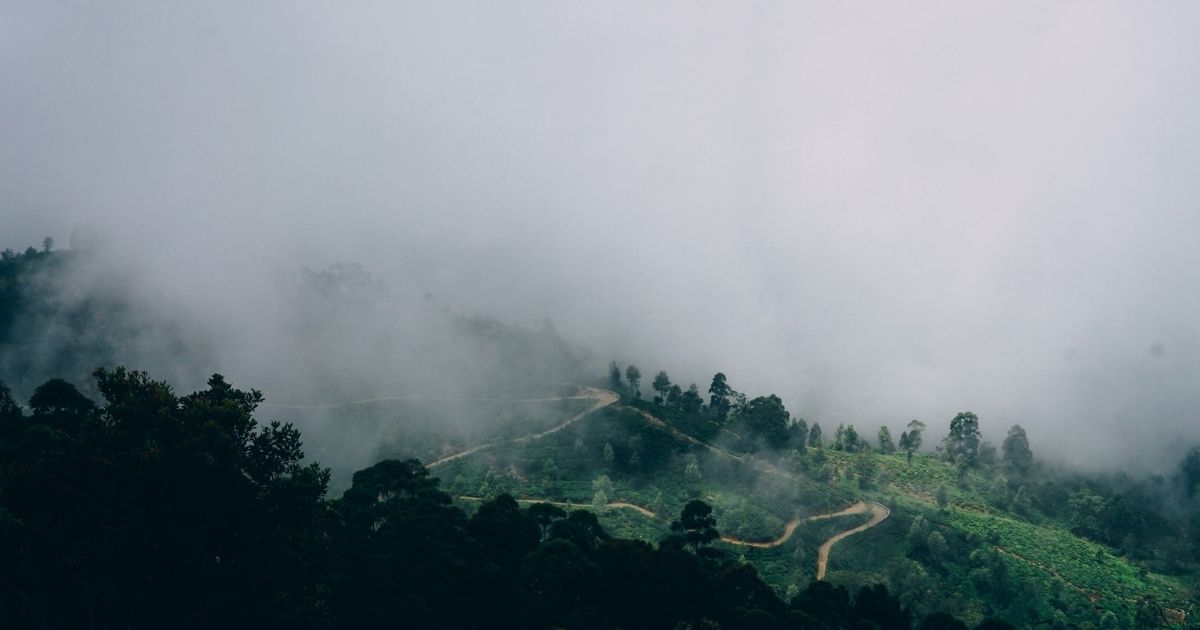
Lipton Seat – Let the tea gardens and estates inspire you to head to the town of Haputale, home to the Dambatenne Estate founded by Sir Thomas Lipton in the year 1980. The lookout which is named after him offers a clear view of the plantations and can be approached by two routes. On a clear day, you should be able to see seven provinces, along with a handful of waterfalls and mountainscapes.
Distance from Ceylon Tea Trails – 110kms
Riverston– Located a couple of kilometers from the town of Matale, here is a lesser travelled plain that you should not miss. The climatic conditions are similar to that of Horton Plains and there are a couple of areas that can be explored within a two to three day camping expedition. The Riverston Peak offers great views of the central hills including the Knuckles Mountain Range and the Thelgamu Valley. If the weather tends to be on the rainy side, do ensure you have your leech socks and mosquito repellent on the ready.
Distance from Ceylon Tea Trails – 129kms

Extended Stay Savings
Extend your stay for 6+ nights at Cape Weligama, save more and enjoy the holiday of a lifetime.


